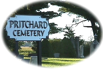

COMPLETED October 2002
This cemetery has been transcribed in 2002 by walking and reading the gravestones. There are open areas in each row that may contain unmarked graves and also some rows seem to have a large space between it and the next row in comparison with the rest of the cemetery. Any stones that are broken and/or unreadable are marked but those are few so far. I am needing to do clean up of moss on some stones to read, and using white chalk to bring up etchings only when needed. S2 = Section 2 R1, R2 are row numbers and the last number is the grave number (see map). If two graves have the same number, they have one stone or marker.
I have been used the original D.A.R. recording done in 1933 as a reference to help with stones that are hard to read now. Also, in checking early deaths against what the stones say there are many records on the State of Michigan Gendis site that differ. Too many to consider that it is the stones that are wrong. I will be checking against the county records as that was only a second transcript of the death and not 4th and 5th transcriptions. The DAR list has been used to give the stones that no longer exist. Photos.
A simple map of the cemetery was created at the time of transcription to further aid viewers to see where the graves lie in relationship with others in the cemetery. The map numbers show relationships as some stones contain names of other family members.
Section 2 Sumner Twp. Gratiot Co. Michigan on Pingree Rd. between Lincoln and Van Buren Rd. One mile from the center of the village of Elwell.
Map of Cemetery
map showing sections and row layout.

|
Gratiot Co. MIGENWEB Site Author:
Hosted by Michigan Family History Network
|